Palo Alto

Overview for Palo Alto, CA

67,231 people live in Palo Alto, where the median age is 42.5 and the average individual income is $121,565. Data provided by the U.S. Census Bureau.

67,231

Total Population

42.5 years

Median Age

High

Population Density Population Density This is the number of people per square mile in a neighborhood.

$121,565

Average individual Income

Palo Alto, CA

The birthplace of Silicon Valley — and the Peninsula's most walkable luxury market

Palo Alto, California — At a Glance

The Key Facts About Palo Alto Real Estate

County

Santa Clara

Zip Codes

94301–94306

Population

~68,000

Median Home Price

$3.5M – $5M+

Population Density

~2,900 / sq mi

University

Stanford (adjacent)

Drive to SFO

~25 min

Main Corridor

University Ave

Palo Alto is in Santa Clara County — directly bordering Atherton and Menlo Park to the north. The city is home to Stanford University and is widely considered the geographic and intellectual center of Silicon Valley. University Avenue is the primary dining and retail corridor, running from downtown through the Stanford Research Park. Population density is approximately 2,900 residents per square mile — making it one of the denser communities on the Peninsula while still maintaining a walkable, small-town character.

Looking at Palo Alto Real Estate?

Palo Alto moves fast — and off-market more often than not

In competitive neighborhoods like Old Palo Alto and Crescent Park, the strongest homes are pre-sold before they reach the MLS. Drew Doran has active relationships with sellers across all major Palo Alto neighborhoods and tracks off-market activity that never reaches public listings.

Living in Palo Alto, CA


The Birthplace of Silicon Valley

Palo Alto occupies a singular position in California real estate: it is simultaneously a historic college town, the intellectual headquarters of global technology, and one of the most desirable residential markets on the Peninsula. Stanford University anchors the southern edge of the city, and its proximity drives a permanent ecosystem of researchers, founders, and venture-backed entrepreneurs who prefer to walk to Sand Hill Road or the University Avenue corridor rather than commute from farther south. The combination of walkability, intellectual culture, and immediate proximity to Atherton and Menlo Park makes Palo Alto the default choice for buyers who want density alongside prestige.

What the Market Actually Looks Like

Palo Alto real estate is defined by neighborhood-level micro-markets. Old Palo Alto and Crescent Park carry the highest prices — estates in these neighborhoods routinely exceed $5M and compete with Atherton on a per-square-foot basis. Midtown and the Eichler corridors attract a different buyer: engineers and young families drawn to the modernist architecture and community feel. South Palo Alto and College Terrace offer lower entry points while maintaining the school district access that drives much of the city's sustained demand. The University Avenue restaurant corridor is a genuine amenity — not just a list of options, but an active social infrastructure for the community's working professionals.

The Founder's Neighborhood Matrix


Palo Alto real estate is defined by distinct micro-neighborhoods, each with its own buyer profile, price point, and architectural identity. The neighborhood matters as much as the city.

Palo Alto Neighborhood Guide — 2026

Which neighborhood fits your stage, your style, and your commute?

Neighborhood Character Architecture Price Range Best For
Old Palo Alto The Titans — historic prestige, maximum status Historic estates, Craftsman, Colonial Revival $5M – $15M+ Executives, UHNW buyers who want walkability + history
Crescent Park Traditional luxury, quieter streets, north of University Ave Large lots, traditional architectural styles $4M – $10M Families, buyers who want scale without the Old PA premium
Professorville Academic legacy, historic preservation district Victorian, Craftsman bungalows, historic designation $3M – $8M History buyers, Stanford-affiliated households
Midtown / Eichlers The Innovators — modernist, community-focused Eichler post-and-beam, mid-century modern $2M – $5M Engineers, architects, design-forward buyers, young families
South Palo Alto Entry-level access to the Palo Alto school district Ranch homes, modest lots, post-war construction $1.8M – $3.5M First-time luxury buyers, families prioritizing schools
College Terrace Stanford-adjacent, walkable to campus Craftsman, bungalows, smaller lots $2M – $4M Stanford-affiliated buyers, rental investors, faculty housing

University Avenue, Palo Alto — Dining by Use Case

The question isn't which restaurants are on University Ave — it's which one fits the occasion

Restaurant Cuisine Best For Price Point
Evvia Estiatorio Michelin-recognized Greek Client dinner, closing the deal $$$$
The Sea by Alexander's Modern Japanese-American seafood High-end function, private dining room available $$$$
Baumé French tasting menu (2 Michelin stars) Special occasion, the most formal option $$$$
Tamarine Modern Vietnamese Team lunch, relaxed business setting $$$
Blue Bottle Coffee Specialty coffee Casual meeting, morning routine $

See the full guide: Restaurants on University Avenue in Palo Alto →

Schools, Parks & Culture


Schools

Palo Alto Unified School District is consistently ranked among the top public school districts in California. The combination of PAUSD access and proximity to Stanford makes education one of the most commonly cited reasons for buying in Palo Alto.

  • Palo Alto High School — Public flagship, National Blue Ribbon School, top college placement
  • Gunn High School — Public, strong STEM and AP program, Silicon Valley's second top-ranked public high
  • Sacred Heart Prep — Private, PK–12, Atherton-adjacent, Ivy-track
  • Challenger School — Middlefield — Private elementary, rigorous academics

Parks & Outdoors

Palo Alto has one of the best urban park systems on the Peninsula, anchored by access to the Baylands and the Foothills preserve.

  • Mitchell Park — Playground, tennis courts, soccer fields, BBQ areas
  • Palo Alto Baylands — 1,940 acres of nature preserve, kayaking, bird watching, bay trails
  • Foothills Park — 1,400-acre open space exclusive to Palo Alto residents
  • Stanford Dish Trail — 3.7-mile loop with panoramic views of the Bay

Culture & Events

Palo Alto punches well above its population size for cultural programming, driven by Stanford's presence and the high density of arts philanthropy in the community.

  • Palo Alto Art Center — Regular exhibitions, community art classes, family programming
  • Festival of the Arts — Annual August event, 200+ artists on University Avenue
  • Stanford Live — World-class performing arts programming on campus
  • Museum of American Heritage — American history artifacts and rotating exhibits

Frequently Asked Questions

 
What county is Palo Alto in?

Palo Alto is in Santa Clara County, California. This is a common point of confusion given its proximity to San Mateo County and communities like Atherton and Menlo Park, which are in San Mateo County. Palo Alto's zip codes range from 94301 to 94306.

What is the population density of Palo Alto, CA?

Palo Alto has a population of approximately 68,000 residents and a population density of roughly 2,900 people per square mile — relatively dense for the Peninsula, though considerably less dense than San Francisco. The density is concentrated near University Avenue and the downtown core, with lower-density residential neighborhoods to the north and south.

Is Palo Alto a good place to live?

Palo Alto consistently ranks among the top cities in California for quality of life. It offers top-rated public schools, exceptional walkability to University Avenue, access to Stanford University, and proximity to the major tech campuses of Mountain View and Menlo Park. The primary drawback is cost — median home prices exceed $3.5M, making it one of the most expensive mid-density cities in the country.

What restaurants are on University Avenue in Palo Alto?

University Avenue is the Peninsula's most active dining corridor for working professionals. Notable options include Evvia Estiatorio (Michelin-recognized Greek), The Sea by Alexander's Steakhouse (modern Japanese-seafood with private dining), Baumé (2 Michelin stars, French tasting menu), Tamarine (modern Vietnamese), and Blue Bottle Coffee. See the full guide to restaurants on University Avenue →

How does Palo Alto compare to Atherton for real estate?

Palo Alto offers walkability, density, and the University Avenue corridor that Atherton deliberately lacks. Atherton has larger lots (1-acre minimum), no commercial zoning, and maximum privacy — the opposite proposition. Most buyers who choose Atherton are optimizing for seclusion; most who choose Palo Alto are optimizing for access. Price per square foot is comparable in the top neighborhoods of both cities.

Explore Nearby Neighborhoods


Palo Alto sits at the center of the Peninsula's most active real estate corridor. The communities immediately surrounding it each offer a variation on the same core proposition — proximity to Stanford, Sand Hill Road, and the tech campus clusters of Mountain View and Menlo Park.

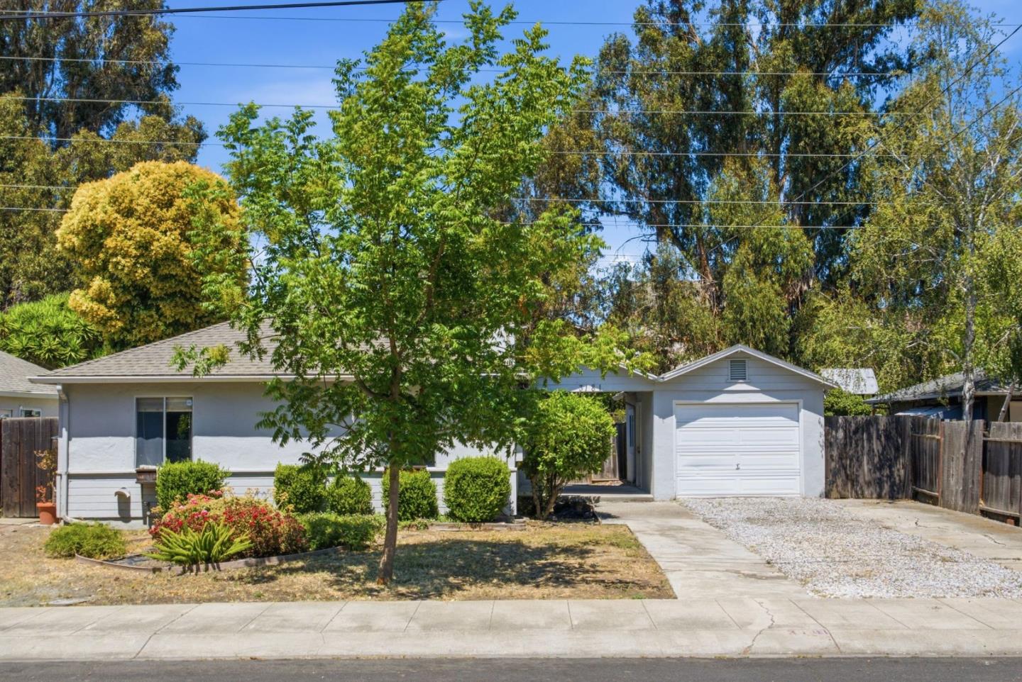
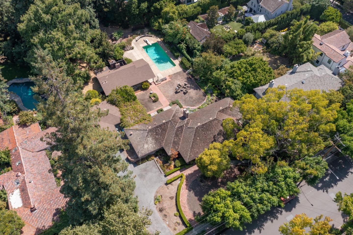
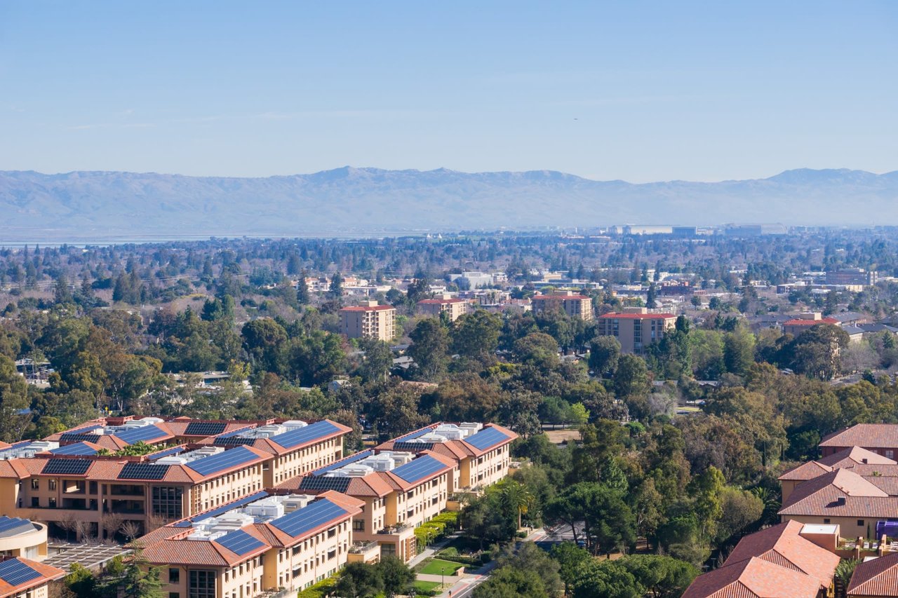
Around Palo Alto, CA

There's plenty to do around Palo Alto, including shopping, dining, nightlife, parks, and more. Data provided by Walk Score and Yelp.

17
Car-Dependent
Walking Score
69
Bikeable
Bike Score
24
Minimal Transit
Transit Score

Points of Interest

Explore popular things to do in the area, including Kathmandu Cuisine Los Altos, Levity Fit, and Archers Oasis.

Name Category Distance Reviews
Ratings by Yelp
Dining 1.98 miles 10 reviews 5/5 stars
Active 0.46 miles 10 reviews 5/5 stars
Active 2.92 miles 40 reviews 5/5 stars
Active 2.82 miles 24 reviews 5/5 stars
Active 2.39 miles 11 reviews 5/5 stars
Active 1.64 miles 13 reviews 5/5 stars

Demographics and Employment Data for Palo Alto, CA

Palo Alto has 26,054 households, with an average household size of 2.55. Data provided by the U.S. Census Bureau. Here’s what the people living in Palo Alto do for work — and how long it takes them to get there. Data provided by the U.S. Census Bureau. 67,231 people call Palo Alto home. The population density is 2,795.34 and the largest age group is Data provided by the U.S. Census Bureau.

67,231

Total Population

High

Population Density Population Density This is the number of people per square mile in a neighborhood.

42.5

Median Age

48.49 / 51.51%

Men vs Women

Population by Age Group

0-9:

0-9 Years

10-17:

10-17 Years

18-24:

18-24 Years

25-64:

25-64 Years

65-74:

65-74 Years

75+:

75+ Years

Education Level

  • Less Than 9th Grade
  • High School Degree
  • Associate Degree
  • Bachelor Degree
  • Graduate Degree
26,054

Total Households

2.55

Average Household Size

$121,565

Average individual Income

Households with Children

With Children:

Without Children:

Marital Status

Married
Single
Divorced
Separated

Blue vs White Collar Workers

Blue Collar:

White Collar:

Commute Time

0 to 14 Minutes
15 to 29 Minutes
30 to 59 Minutes
60+ Minutes
Search Homes
Palo Alto

Work With Us

Thinking of buying or selling? The future of real estate starts here! Get in touch with The Doran Team and discover all that Bay Area real estate has to offer.

Follow Us on Instagram